
Coulter began with a little background into the history of remote sensing. Remote sensing, in its simplest sense, is capturing information from a distance, which is done by aircraft or satellite. The means of capturing the data, however, has changed drastically in just the last half of a century. Initial research in remote sensing was done though conventional photography. Following that, photogrammetry began to come into use, which used calibrated cameras and allowed measurements to be done by photographs. More recently, digital imagery has come into use, allowing for cheaper and more convenient photogrammatic imagery to be collected. The most recent technology, hyperspectral imagery (HSI), was discussed in the most detail.
The concept behind hyperspectral imagery according to Coulter is to “fly around and collect a ‘cube’ of data. Each pixel in the image has a characteristic spectrum.” The spectrum that the sensors are collecting is actually reflected thermal data in the ultraviolet to near infrared areas of the electromagnetic spectrum. The goal of these studies is to map the mineralogy of the surface of an area in large volumes with relative ease. Each mineral has a characteristic spectral ‘fingerprint’ that can identify the mineral(s) present. This surface mapping is highly important because it is an area often avoided by geologists, though it can actually contain an abundance of information about what is going on under the surface. “Field mapping is still key to the real picture,” says Coulter, “[but] geologic methods grossly under-sample the surface. No geologist can walk over every [square] meter and measure it.”
After explaining the background, Coulter delved into his case studies. The first project was at Los Chimberos Mine in Chile. Los Chimberos was a silver producing mine that was operated for only 15 months total. It was opened as a temporary mine to keep the mill in operation while the main mine was updated. When a hyperspectral analysis was done over the region to determine where other similar high-grade deposits could be found, it showed massive areas of similar surface mineralogy throughout a large part of the region. The layout of the surface deposits suggested that certain areas were heavily eroded while others were not. This helped geologists by showing different areas that may be of geologic interest and could be useful in finding other high-grade deposits.
The second study was on the Anti-Atlas Mountains of Morocco. This imagery was taken to determine whether age is a component in volcano function. Arguably the most interesting thing about the study was the amount of data collected for the research. The survey was done over a 12,000 square kilometer area at 5 meter resolution. The total number of pixels was roughly equivalent to the number of pixels in the USGS survey of the entire country of Afghanistan at a 20 meter resolution and the total data stored was almost twice as much. What this study showed was that “Age doesn’t matter; volcanoes still worked the same [way] 650 million years ago, as they do today.” What was also concluded was that higher resolutions can quickly eat up the storage space allotted, limiting the amount of data that can be collected.
The third case study, Hope Bay, Nunavut, Canada, was a lesson in what can go wrong with hyper-spectral imagery. Coulter listed at the beginning, and then reiterated during this case study, the four rules of HSI which he called VISA: Visibility, Identifiability, Signal, and Abundance. The flyovers, done in the fall, first saw issues in visibility. Vegetation not only makes the ground, and thus minerals, difficult to see, it gives false signals. Going hand in hand with the vegetation problem, greenstone systems further make identifying the characteristic spectra difficult, and the readings could be interpreted as vegetation. Dark rocks, also common to the area, are yet another hurdle to be overcome when doing HSI. Despite the difficulties, conclusions were still able to be made to some accuracy and the most important was to pay attention to local issues, such as the changing seasons, before assuming HSI can be done. As a still somewhat uncommon and expensive research method, it is important to get the data correctly the first time and make identification easier by eliminating ambiguity within the data.
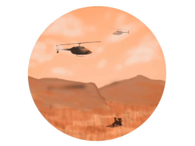
The final case study was, perhaps, the most interesting, and was not specifically geology related, though it had similar applications. After doing the surface study in Nunavut, an idea was put forth to consider remote sensing as a means of counting the caribou population of Nunavut. The question was “Can caribou be remotely identified spectroscopically and inventoried through hyper-spectral technology?” The interest by Nunavut in this research was due to the fact that no accurate inventory of caribou currently exists and because Caribou are known as Nunavut’s “walking refrigerators;” they may be taken by Inuit at any time.
The choice to attempt to use hyperspectral imaging was summed up well by Coulter, “We sometimes need to think outside the box and apply problem solving to problems not made of rocks.” A preliminary study was done to determine if spectroscopy of animal fur was even a realistic goal. As Coulter explained, he was trying to determine if the research was even feasible when a colleague said he had a spectrometer in his truck. He rushed out to grab it and in a “eureka moment,” Coulter put the spectrometer to his hair and produced a very distinct signature; the research could be done.
The study itself was conducted with both a SEBASS hyperspectral sensor and a high resolution Redlake black and white digital camera for cross analysis. Due to cost restraints, rather than flying in Nunavut, it was instead decided to see if the inventorying was possible by taking an inventory of elk, which are virtually identical to caribou. By substituting elk, the tests could be flown much closer, and for much cheaper, just outside of Durango, Colorado, at the ERI Oxford Paddocks. The results of the inventory were encouraging, but not the ideal outcome. At 1/2 meter resolution, the inventory was determined to register 95% of the elk when compared to a manual counting with the 5 cm resolution Redlake camera. However, when the test was flown again at 1 meter resolution, the results were much worse. The HSI worked well only in areas of large elk concentrations. The resolution of the HSI is directly related to the altitude of the plane doing the flyover, and in order to get 1/2 meter resolution, the plane must be flown under 1/2 mile above the ground. Avoiding agitation of the caribou is a key goal to Nunavut, and flying over within a half mile would very likely stress the elk. However, the studies would most likely be done during calving season during which the elk are largely grouped together, so higher altitude fly-bys could potentially be done.
Whether or not the study proves to be useful to Nunavut, Coulter’s research is a shining example of an engineer’s need to think outside of the box in considering every solution available.
'Thinking outside the box with hyperspectral imagery' has no comments
Be the first to comment this post!